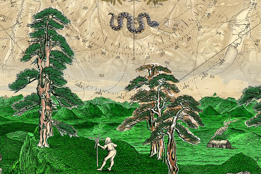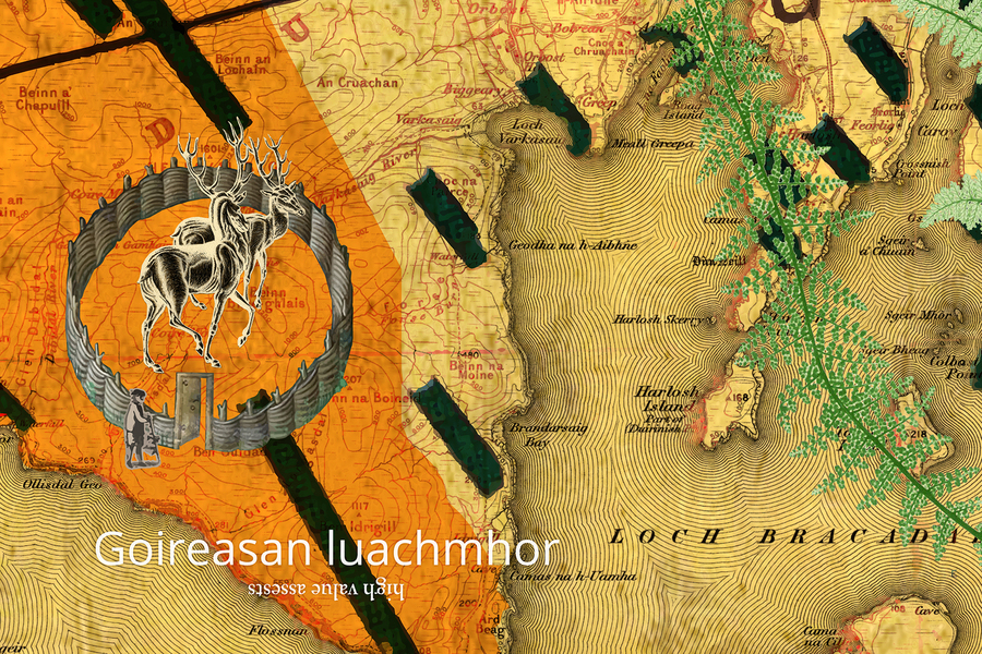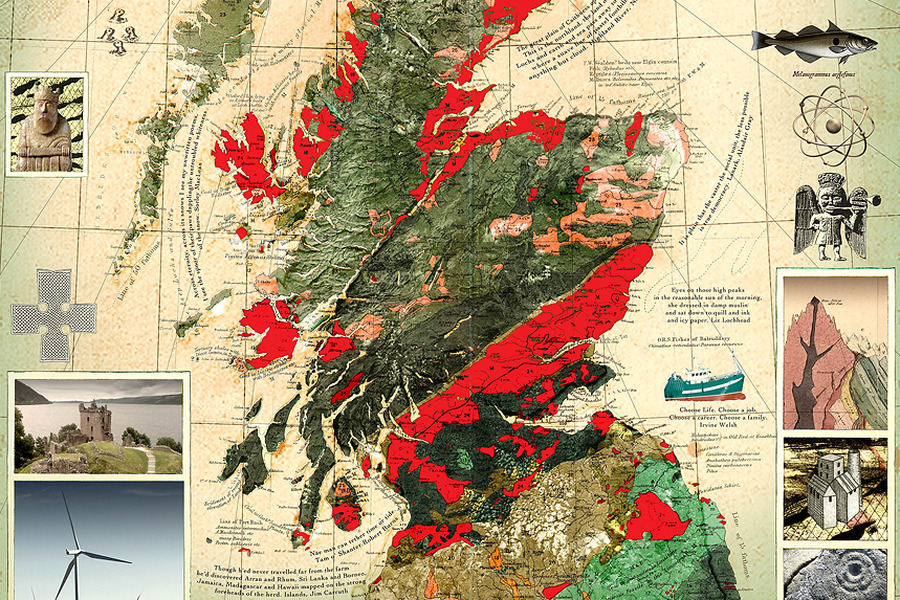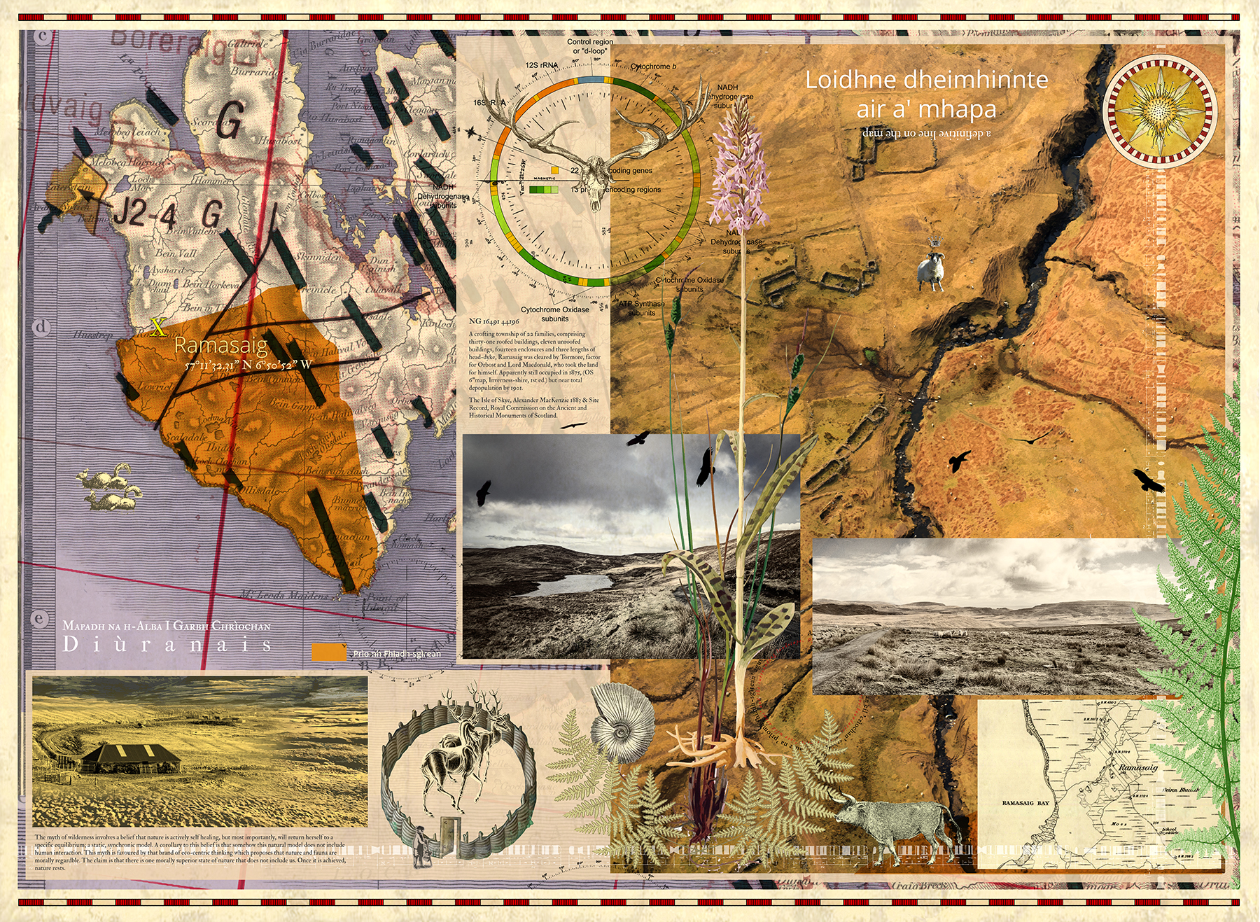
Ramasaig
Digital pigment print in an edition of 15. Image size 97 x 71 cm, paper size 107 x 81 cm.
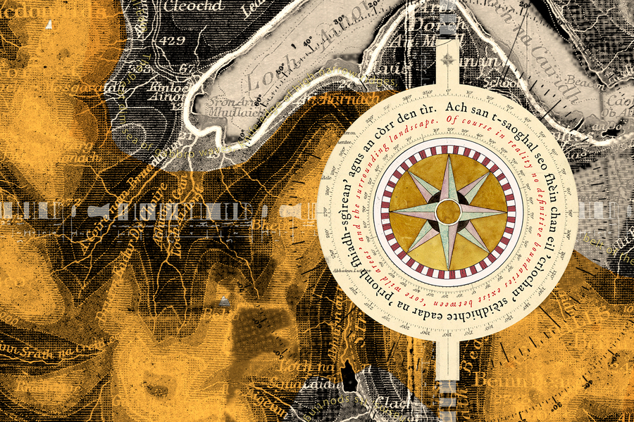
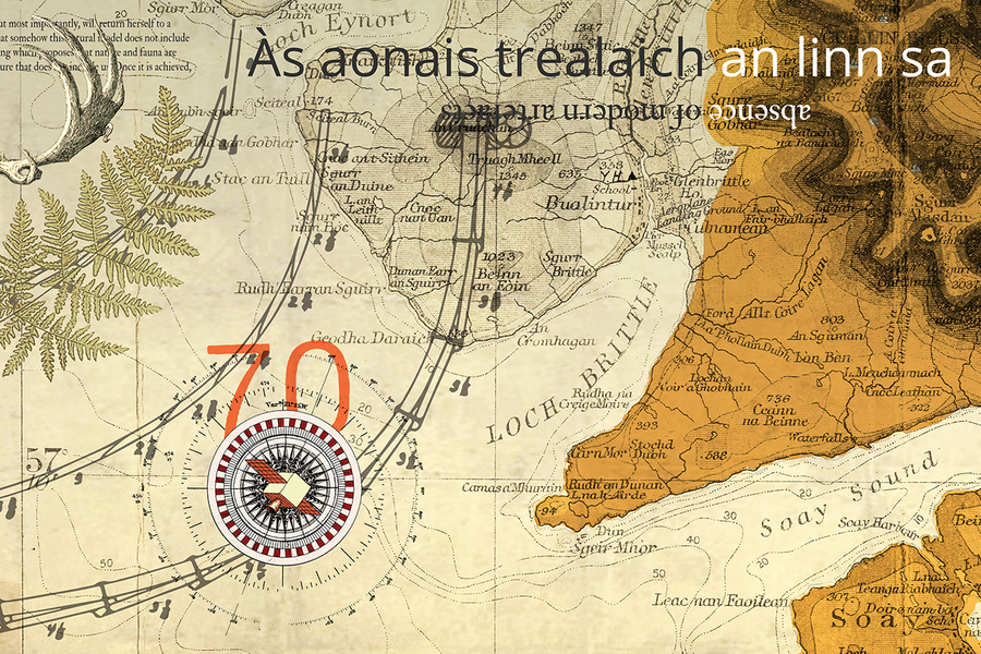
One of the ‘borderline’ locations selected from the SNH ‘Wild Land Areas 2014’ map.
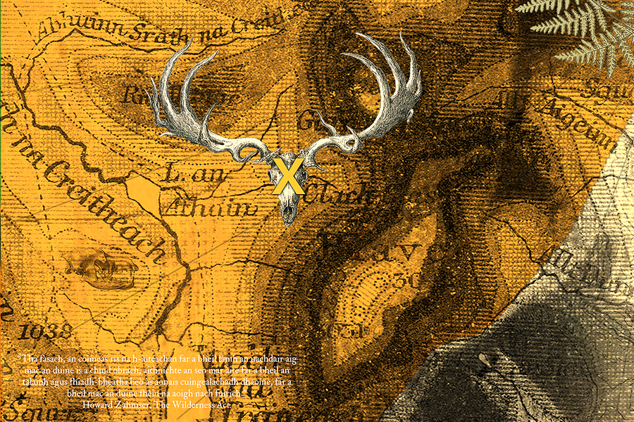
A crofting township of 22 families, comprising thirty-one roofed buildings, eleven unroofed buildings, fourteen enclosures and three lengths of head-dyke, Ramasaig was cleared by Tormore, factor for Orbost and Lord Macdonald, who took the land for himself. Apparently still occupied in 1875, (OS 6"map, Inverness-shire, 1st ed.) but near total depopulation by 1901.
The Isle of Skye, Alexander MacKenzie 1883 & Site Record, Royal Commission on the Ancient and Historical Monuments of Scotland.